A photo without location data is just a picture. A photo with GPS coordinates is evidence.
In environmental fieldwork, the difference matters. When a regulator asks where a stained area was observed, when a client wants to verify a monitoring well location, or when you need to relocate a sample point a year later — GPS-tagged photos answer the question instantly.
What GPS-Tagged Photos Actually Are
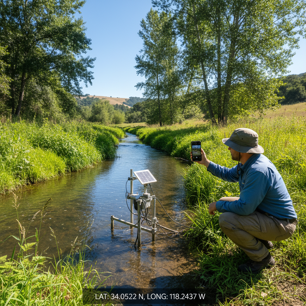
GPS-tagged (geotagged) photos contain location coordinates embedded in the image file's EXIF metadata. When you open the photo's properties, you see latitude, longitude, and sometimes altitude and compass direction.
Most smartphones capture this data automatically — if location services are enabled for the camera app. Dedicated cameras require a connected GPS device or manual geotagging in post-processing.
Why GPS-Tagged Photos Matter for Environmental Work
Regulatory Documentation
Environmental site assessments, wetland delineations, and Phase I ESAs all require photo documentation tied to specific locations. GPS-tagged photos provide:
- Verifiable evidence of observation locations
- Defensible documentation for regulatory submissions
- A permanent spatial record that doesn't depend on a separate photo log
Field-to-Report Efficiency
Without geotagging, the photo-to-report pipeline involves:
- Take photo
- Write location in photo log
- Back at office, match photo to log entry
- Look up coordinates for that location
- Place photo on map in report
With geotagging, steps 2-4 disappear. The photo contains its own location. Import tagged photos into GIS or reporting software and they place themselves on the map.
Revisit Accuracy
Environmental monitoring often requires returning to exact locations over months or years. GPS-tagged photos from previous visits provide coordinates accurate enough to relocate sample points, photo points, and features without permanent markers.
Setting Up GPS-Tagged Photos in the Field
Smartphone Setup
Most environmental field teams use smartphones for photos. To ensure GPS tagging:
iPhone:
- Settings → Privacy & Security → Location Services → Camera → set to "While Using"
- Verify: take a photo, open it in Photos, swipe up to see the map location
Android:
- Open Camera app → Settings → toggle "Location tags" or "GPS tag" on
- Verify: open a photo in Gallery, check Details for GPS coordinates
Common GPS Tagging Problems
Problem: Photos aren't getting GPS tags
- Location services are disabled for the camera app
- The device hasn't acquired a GPS fix yet (give it 30-60 seconds outdoors)
- Battery saver mode is restricting GPS
Problem: GPS accuracy is poor
- Dense tree canopy or deep terrain reduces accuracy
- Wait for a better fix before shooting
- Use an external GPS receiver for sub-meter accuracy
Problem: Photos have GPS but it's stripped during sharing
- Many messaging apps (iMessage, WhatsApp) strip EXIF data
- Email, AirDrop, and direct file transfer preserve EXIF
- Use a field data app that preserves GPS metadata by design
Integrating GPS Photos with Field Data
GPS-tagged photos are most useful when they're connected to field records — not sitting in a camera roll with 200 other unorganized images.
The ideal workflow:
- Open a field record (data point, sample location, monitoring well)
- Take photos within the record — the app captures the photo and links it to the specific record
- GPS coordinates are embedded in the photo AND recorded in the field data
- Back at the office, photos export with their parent records — no matching required
This is fundamentally different from taking photos with the camera app and matching them to records later. The linkage happens at the moment of capture, not as a post-processing step.
GPS Photo Best Practices for Environmental Fieldwork
Take More Than You Think You Need
Storage is effectively free. Return trips are expensive. For every feature, observation, or condition:
- One overview photo showing context
- One detail photo showing the specific feature
- One photo showing the general landscape/surroundings
Use Consistent Photo Naming
If your workflow requires photo filenames in reports, establish a naming convention before the field visit. Better yet, use a field data app that names photos based on the record they're attached to (e.g., DP-001_photo_1.jpg).
Verify Geotagging Periodically
Check the first few photos of each field day to confirm GPS data is being embedded. It's much easier to fix a settings issue in the first hour than to discover 200 untagged photos at the end of the day.
Preserve Original Files
Never edit GPS-tagged photos in a way that strips EXIF data. Keep originals as your record of truth. Create copies for reports, presentations, and sharing.
GPS-Tagged Photos in FieldTap
FieldTap automatically GPS-tags every photo taken within a field record. Photos are linked to specific data points, observations, and features — no separate photo log needed. AI-generated descriptions can supplement your own notes.
Start a free trial and see how GPS-tagged photos integrate with your field data workflow.